The Niagara Escarpment shapes everything we do in geotechnical site investigation here. In Niagara Falls Ontario, the layered dolostone, shale, and overburden deposits create abrupt transitions from competent rock to compressible soils within a single property. A drill rig alone cannot capture the lateral variability of glacial till across the Honeymoon Capital. Exploratory test pit work lets us walk the excavation, photograph the strata, and sample exactly where the soil changes character. For sites near the gorge or along the Welland River floodplain, we combine these pits with deeper SPT drilling when the refusal depth exceeds 4.5 meters, ensuring the foundation design accounts for both the shallow fill and the underlying Queenston Formation.
Direct observation of weathered shale seams in a test pit reveals what a split-spoon sample misses: the true continuity of the weak zone.
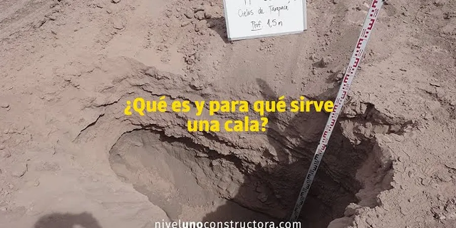
Methodology and scope
Local considerations
Niagara Falls Ontario grew along the hydroelectric corridor, and many older commercial properties near Clifton Hill sit on undocumented fill from nineteenth-century canal construction. We have opened exploratory test pits to discover brick rubble, timber cribbing, and ash layers at depths where geophysical surveys indicated natural soil. The risk of differential settlement across a building footprint increases sharply when fill thickness varies from 0.5 to 3.0 meters within a few meters laterally. Without direct pit observation, these transitions go undetected. For proposed additions to heritage structures in the Drummondville neighbourhood, we require at least one test pit per 200 square meters of building area to map the fill boundary and identify any buried organic horizons that would trigger a methane mitigation requirement under the Ontario Building Code.
Applicable standards
ASTM D2488: Description and Identification of Soils (Visual-Manual Procedure), Ontario Regulation 213/91: Construction Projects (trench safety for pit entry), ASTM D5434: Field Logging of Subsurface Explorations, NBCC 2020 Part 4: Structural Design — foundation investigation requirements, Ontario Building Code O. Reg. 332/12 Section 4.2: excavation and foundation conditions
Associated technical services
Bedrock Profiling with Test Pit Excavation
We map the weathered-to-fresh transition in the Queenston Formation using sequential test pits stepped across the building pad. Sidewall scraping exposes oxidation rinds and joint spacing that control allowable bearing pressure.
Fill Characterization and Buried Infrastructure Location
For downtown Niagara Falls redevelopment sites, we excavate pits to identify fill composition, debris content, and buried foundations from demolished structures. Each pit is logged per ASTM D2488 with photographs at every 0.5 m depth increment.
Typical parameters
Frequently asked questions
How deep can an exploratory test pit go in Niagara Falls before hitting bedrock?
In the Niagara Falls Ontario area, overburden thickness varies from less than 1 meter on the Escarpment brow to over 10 meters in the buried gorge valleys. Standard excavator test pits reach 4.0 to 4.5 meters. When refusal occurs above the target depth, we switch to rock coring through the test pit floor or offset the pit to locate deeper soil pockets.
What does an exploratory test pit cost in the Niagara Region?
For a standard exploratory test pit investigation in Niagara Falls Ontario, budget between CA$650 and CA$1,070 per pit. This includes the excavator mobilization, safe entry provisions per Ontario Regulation 213/91, ASTM D2488 logging, photographic documentation, and basic sampling. Laboratory testing and detailed reports are quoted separately based on the number of samples.
Do I need a test pit if I already have borehole data for my Niagara Falls property?
Boreholes provide excellent vertical profiles but limited lateral coverage. In Niagara Falls Ontario, where glacial till and fill deposits can pinch out abruptly, test pits expose a continuous sidewall section. We recommend at least one test pit per 400 square meters of building footprint even when boreholes exist, specifically to verify fill boundaries and shallow groundwater seepage patterns that a borehole log can miss.